GeodynAlps

Some informations about the geodynamics of the Alps

The map
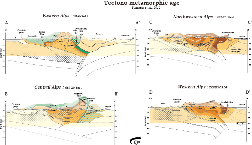
"Time" Profiles

  • The Alpine belt formed during a process of convergence, subduction and collision between the European and Adria continental plate during Mesozoic and Cenozoic times (e.g. Ernst 1971; Dal Piaz et al. 1972; 2003; Trümpy 1975; Le Pichon et al. 1988; Dewey et al. 1989). The intervening oceanic crust progressively deformed and partially accreted to the continental margins, which are now sandwiched between the overlying Austroalpine nappe units and the underlying rocks of the European domains.
    There are different opinions about the age and paleogeographic position of some units (e.g. Cretaceous vs. Paleogene, number of subduction sites, age of the collision; see for example Polino et al. 1990),which are partly due to conflicting determinations of the timing of metamorphism (e.g. Chopin & Maluski 1980; Hunziker et al. 1992; Gebauer 1999) and partly due to a fragmentary view of the Alpine belt.

    We summarized the many age data onto map and profiles, in order to discuss the different building stages of the Alpine belt


  • click on the picture for more details or to zoom


    Location of the profiles

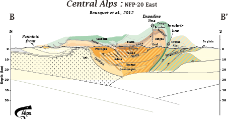
    Central Alps

    TRANSALP

    NFP20-East

    NFP20-West

    ECORS-CROP


    To cite documents from this page
  • Bousquet R., Oberhänsli R., Schmid S.M., Berger A., Wiederkehr M., Robert C., Möller A.,Rosenberg C., Koller F., Molli G., Zeilinger G, 2012, Metamorphic framework of the Alps, CCGM/CGMW. http://www.geodynalps.org